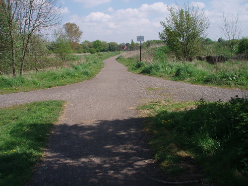
The weather was beautiful bright spring sunshine and still cool enough for a light jacket. Got the old mountain bike out to explore the original route of Hardy Lane. It still runs as footpath from Jackson's Boat to the abandoned UMIST sports building though the route wanders in places from the original way . I was using a copy of the 1905 Ordnance Survey map as a guide. Wish I had taken my compass so as make more accurate alignments instead of guessing.
There is a steep bank near the sports building and a fair amount of stones and bricks been chucked into the low ground below. Beyond that is the metal fence that surrounds Chorlton Golf Club. At the junction of Hardy Lane and Barlow Moor Road you can still make out some old Manchester Corporation gully covers set in the pavement on the north side. That's opposite side to the Co-op. This is probably the original start of Hardy Lane before it was re-aligned to face Mauldeth Road.
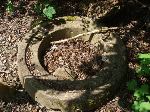
Certainly more exploring to be done, especially down the embankment. Might find some old farm relics from Hardy Farm which stood nearby.
Pictures are of the end of Hardy Lane at Jackson's Boat, and something I spotted down the said embankment.


No comments:
Post a Comment